One of the most recognizable routes among hiking trails in Bayfield County is the
Brownstone Trail. This multi-use trail follows a former railroad grade that once supported the region’s brownstone industry. Today, the trail stretches between Bayfield and Red Cliff, staying close to the Lake Superior shoreline for much of its length. The relatively level surface and wide path make it accessible for walkers who prefer a steady pace, while the open views toward the lake provide a strong sense of place. The trail also connects residential areas with waterfront access points, reinforcing its role as both a recreational corridor and a community resource.
In contrast to the open shoreline feel of the Brownstone Trail, the
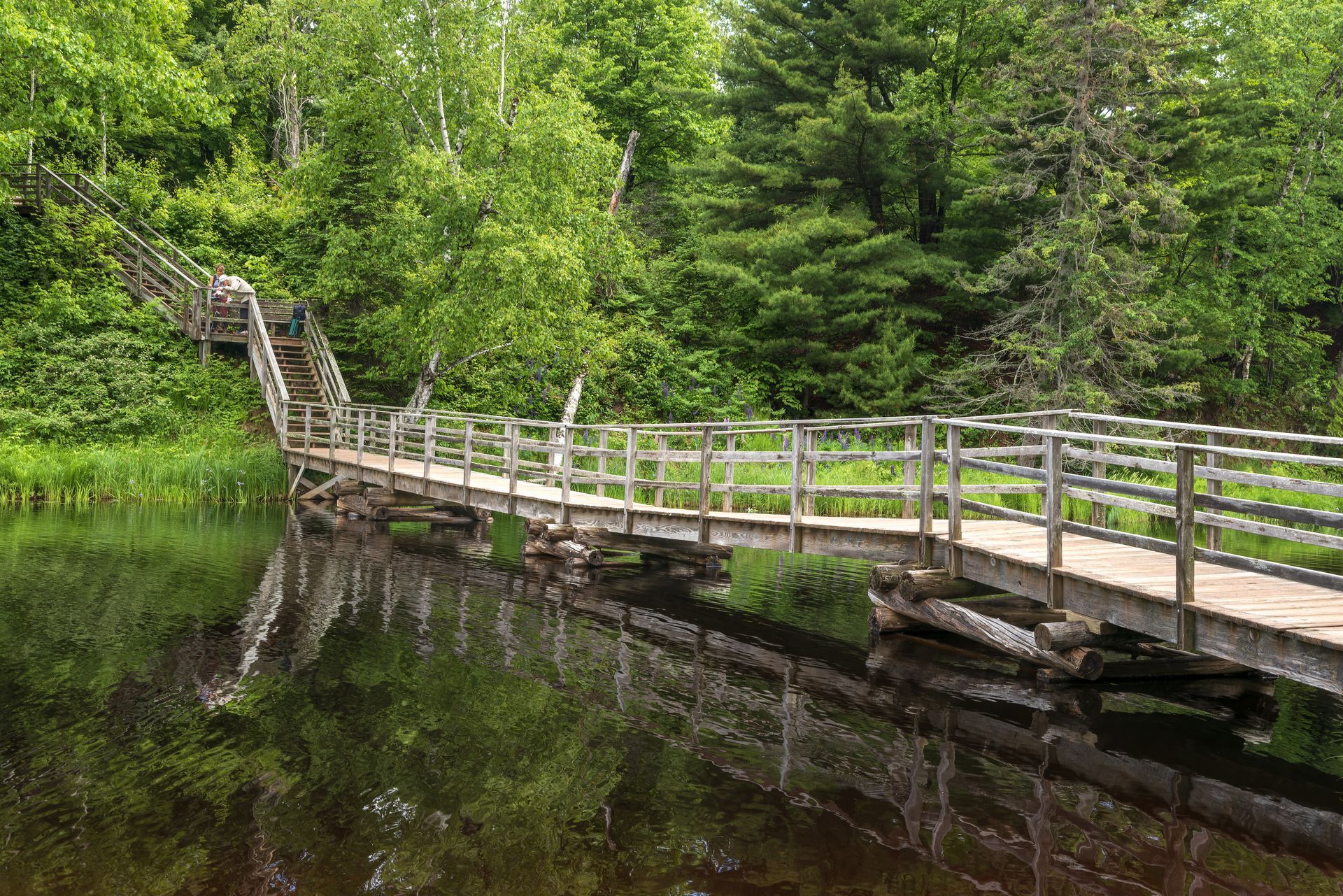
Big Ravine Trail offers a more enclosed forest experience. Located near the city of Bayfield, this trail descends into a wooded ravine shaped by water and time. Hikers move through dense tree cover, with changing elevation and narrow paths that emphasize the natural contours of the land. Seasonal changes are especially noticeable here, with spring runoff, summer greenery, and autumn leaf color altering the atmosphere of the trail throughout the year. The Big Ravine Trail highlights how quickly the landscape can shift within a small area of Bayfield County.
A different perspective on hiking in the county can be found at
Frog Bay Tribal National Park, which holds the distinction of being the first tribal national park in the United States. Owned and managed by the Red Cliff Band of Lake Superior Chippewa, the park protects a stretch of undeveloped Lake Superior shoreline. The hiking trail at Frog Bay follows the lake’s edge, passing through forest and open areas while remaining closely tied to cultural and environmental stewardship. The trail experience here is shaped not only by scenery but also by the park’s mission to preserve land, water, and traditional values.
Bayfield County also serves as the gateway to many
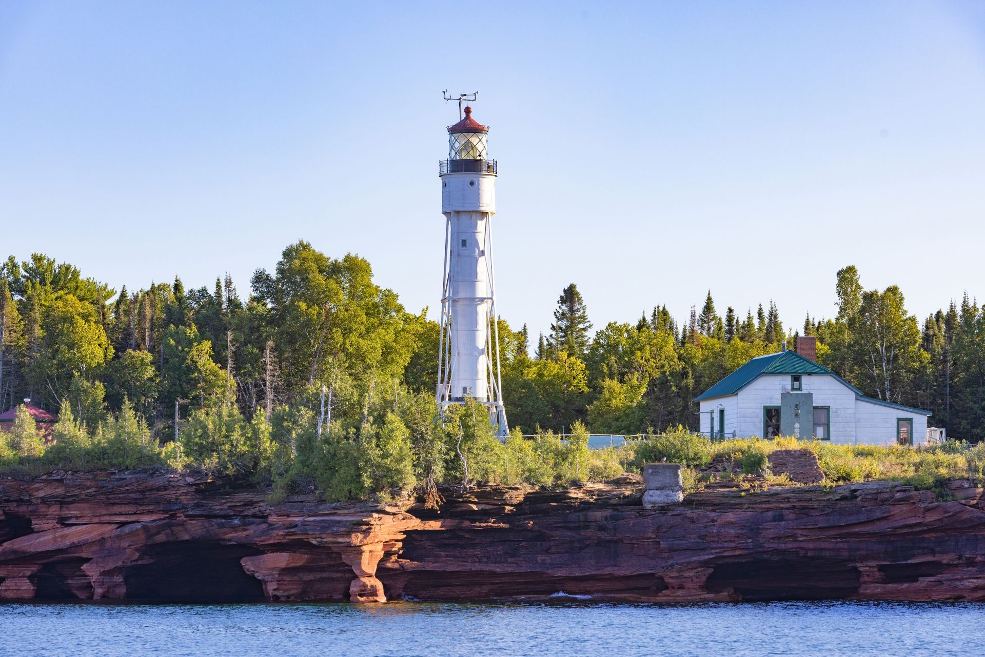
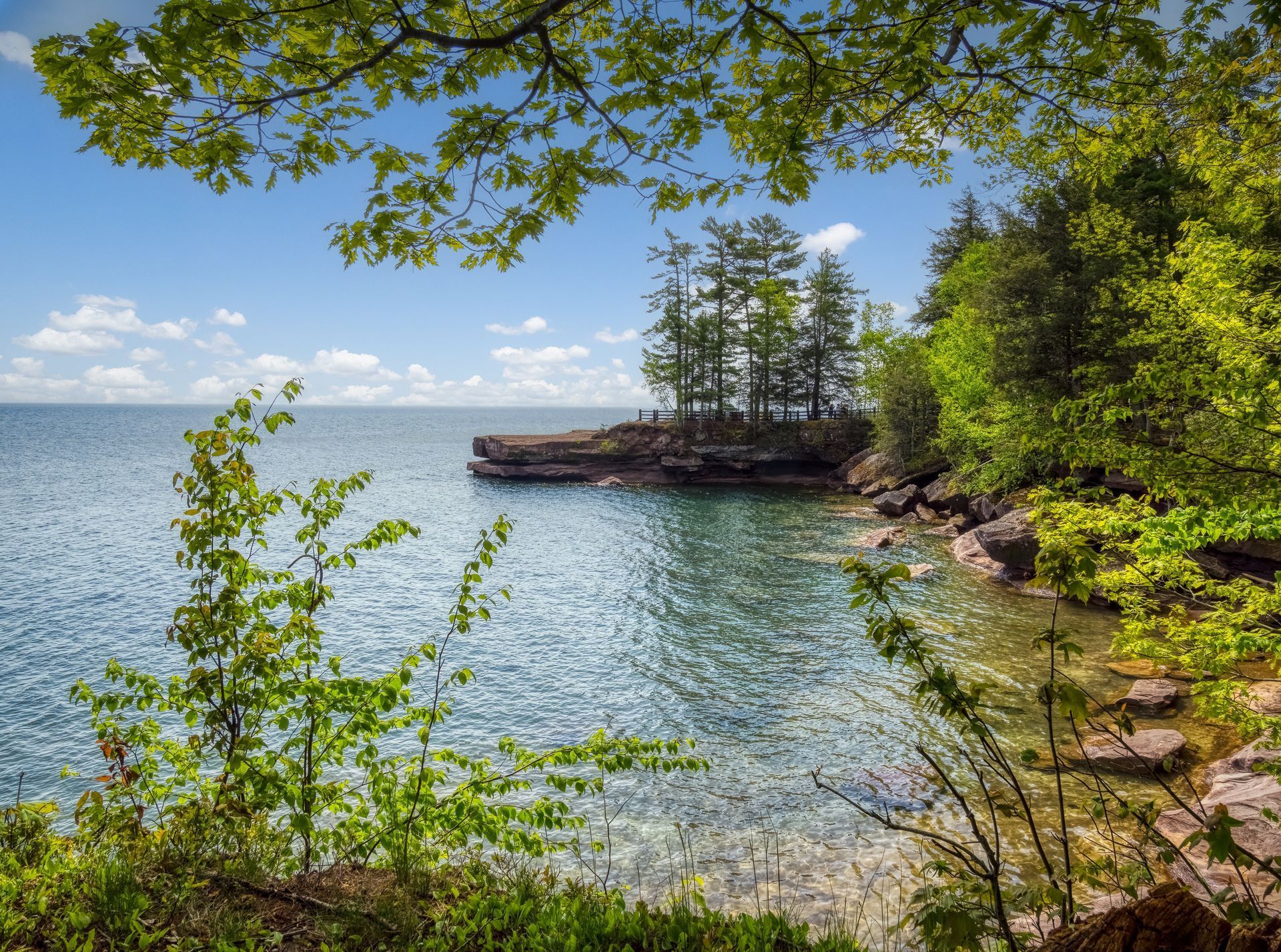
Apostle Islands trails, which are part of the Apostle Islands National Lakeshore. While some trails are located on individual islands and require boat access, others are found on the mainland portion of the park within Bayfield County. These trails move through boreal forest, sandstone formations, and coastal terrain shaped by wind and water. Hiking in the Apostle Islands area often emphasizes the scale of Lake Superior, with long views and a sense of exposure that differs from inland forest routes.
Together, these locations show how hiking trails in Bayfield County reflect the county’s geography and history. From former industrial corridors to protected tribal land and nationally designated shoreline, each trail tells a different story about how people have interacted with this landscape over time. For hikers, this variety means that a single county can offer shoreline walks, forest descents, and expansive lake views, all within a relatively compact area.