Top Bayfield, Wisconsin Hiking/Walking Trails
Bayfield, WI is a great place to go for outdoor enthusiasts, which is why we made a list of the best hiking and walking trails (some are biking trails, too) in our area. You can see a map of where the trails are located
here.
What is Hiking?
Bayfield, WI is a great place to go for outdoor enthusiasts, which is why we made a list of the best hiking and walking trails (some are biking trails, too) in our area. You can see a map of where the trails are located
here.
Why Hike in Bayfield, WI?
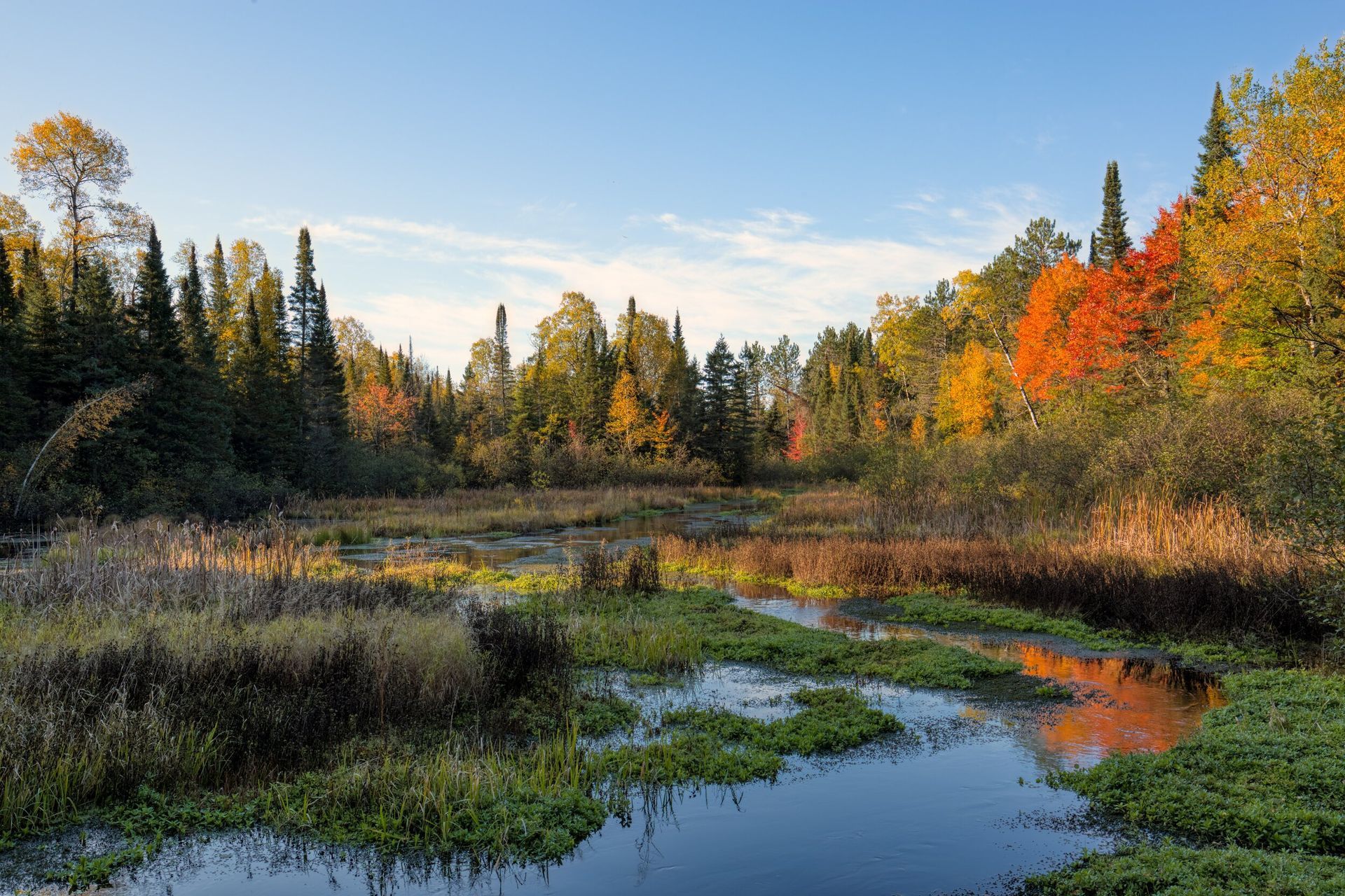
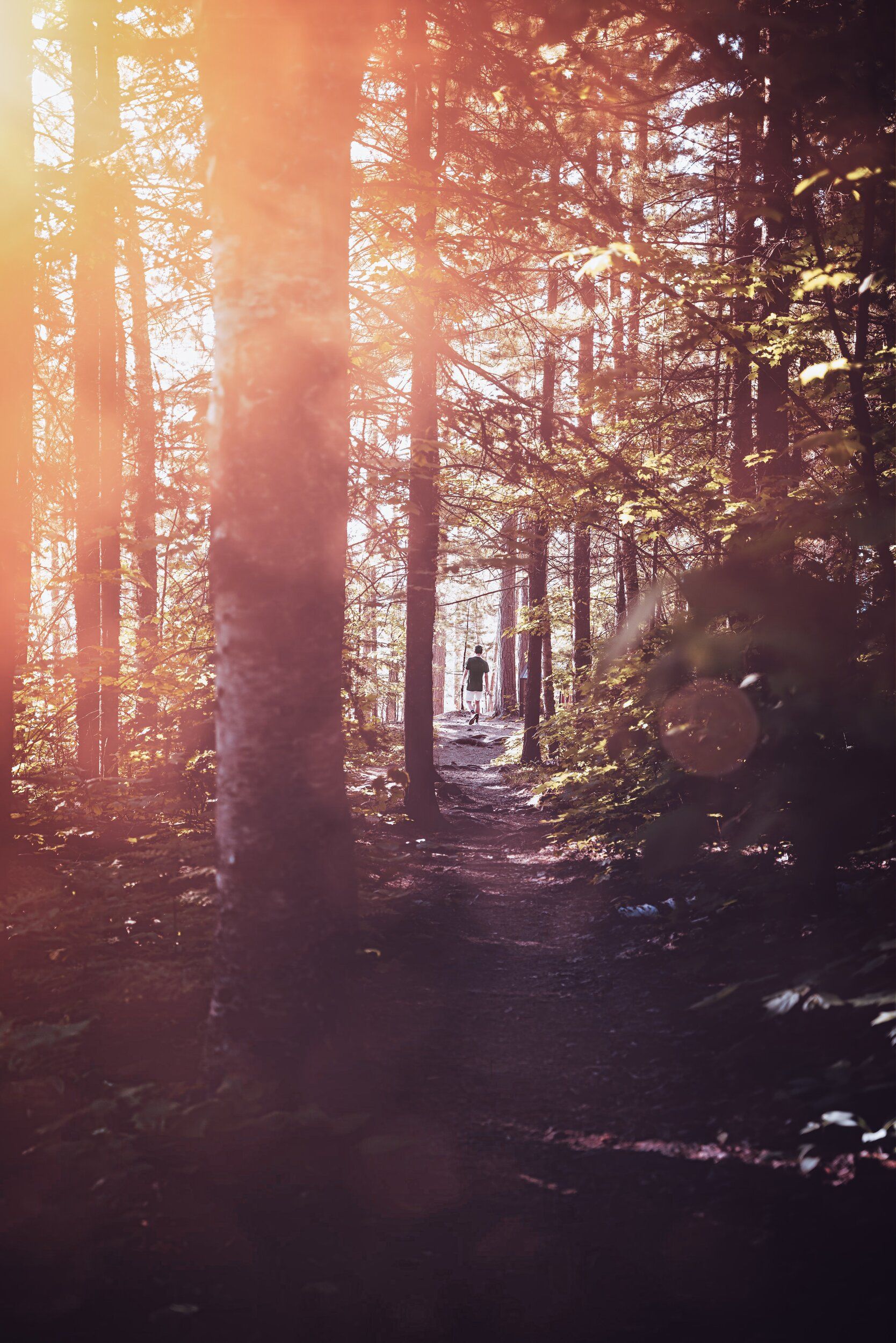
Not only can you find peace and relaxation in nature, but in Bayfield, WI, you might be able to see interesting animals like whitetail deer, snowshoe hares, ducks, beavers, otters and chipmunks. The greenery in Bayfield is luscious, making for a great backdrop for family photos (especially when the leaves change colors in the fall). If you're looking to learn about the variety of plants in Wisconsin, then going on a hike is the best way to do it.
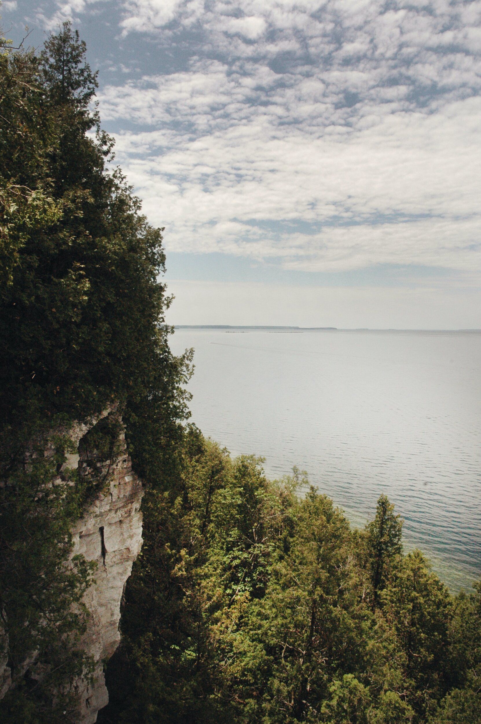
Additionally, Bayfield is right by lake Superior, so you can go on a hike and swim in the lake later to cool off. You can hike to an area with a view of the lake and watch the boats and sailboats cruise across the water, too.
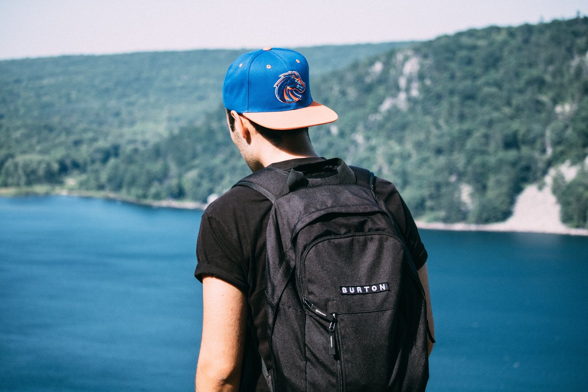
What to bring when hiking:
- Water-proof sneakers or boots
- Water bottle
- Backpack
- Hat
- Jacket
- Sunscreen
- Bug spray
- Snacks
- GPS
- Walking stick
Forgot some of this stuff at home or at your campsite? You can visit stores like
Howl Downtown,
Trek & Trail and
Howl Adventure Center to get the items you need.
Most Popular Hikes in Bayfield
Check out our favorite hikes to do near the Apostle Islands Area Campground.
Easy
Big Ravine Nature Trail
Length: 1.3 miles
Elevation gain: 242 ft.
Features: Geocaching, hill, lake views
Distance from our campground: 5-minute drive
Brownstone Trail
Length: 5 miles
Elevation gain: 213 ft.
Features: Neighborhoods, wild flowers
Distance from our campground: 4-minute drive
Diesel Bear Loop
Length:
3.4 miles
Elevation gain:
219 ft.
Features: Bayfield County Forest, wild flowers
Distance from our campground: 15-minute drive
Iron Bridge Trail
Length: .5 miles
Elevation gain: 59 ft.
Features: Iron Bridge, creek, waterfall
Distance from our campground: 5-minute drive
Salmo Lake Walk Trail
Length: 1.5 miles
Features: Pikes Creek, Les Voigt State Fish Hatchery
Distance from our campground: 4-minute drive
Moderate
Lost Creek Falls Walking Trails
Length:
3 miles
Features:
Waterfall, forests, wild flowers
Distance from our campground:
30-minute drive
Meyers Beach Sea Cave Trail
Length:
4.6 miles
Elevation gain:
269 ft.
Dog friendly:
Yes
Fee:
$5.
Features:
Meyers Beach, Mawikwe Bay, sea caves (access via canoeing)
Distance from our campground:
25-minute drive
Mountain Bike Trailhead
Features:
Downhills, rocks, interesting signs and decorations
Distance from our campground: 6-minute drive
North Pikes Creek Wetlands Community Forest
Features:
Beaver Hollow, wetlands, swamp hardwood forest
Distance from our campground:
10-minute drive
Jerry Jay Jolly Hike/Ski Trailhead (otherwise known as Pikes Creek Trail System)
Length:
8 miles
Features:
Pikes Creek, forestry
Distance from our campground:
10-minute drive
Hard
Apostle Islands National Lakeshore Trail (on Stockton Island)
Length: 9 miles
Features: Lighthouses, old farms, beaches and scenic views
Distance from our campground: 2 to 3 hours by ferry
Rock Lake Mountain Bike Trailhead (could also be called Rock Lake National Recreation Trail)
Length: 1 to 10 miles
Features: Hilly terrain, lakes like Namekagon Lake and Garden Lake, forestry
Fee: $5
Distance from our campground: 1-hour-and-10-minute drive
Conclusion
Ready to try some of these Bayfield hiking trails? Stay at our campground!